EarthDesk 7
Real time data on your Mac or Windows desktop or Apple TV.
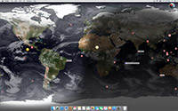
EarthDesk converts your desktop into a beautiful, real-time image of the Earth from space, continuously
updating in the background while you work. Configure the map, sit back, and enjoy the stunning view!
Now available for Apple TV. See the world in stunning 4K resolution on your large screen TV.
 Purchase on your iPhone (not iPad) or search
for "EarthDesk TV" on your Apple TV.
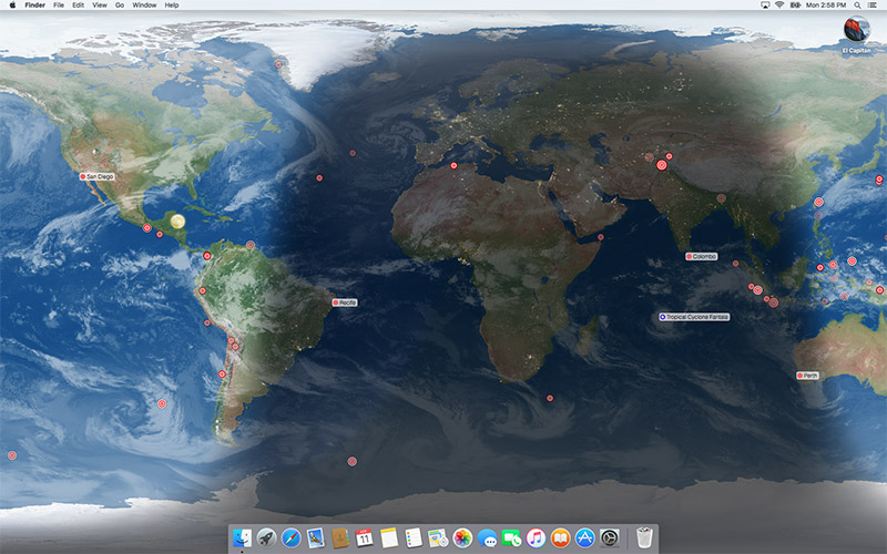

Imagine gazing through the window of an orbiting spaceship. Now imagine that
view on your desktop. That's EarthDesk. EarthDesk features near real-time
clouds, accurate sun, moon, and city lighting, and more.
EarthDesk isn't just a pretty picture. As it moves throughout the day, depicting live data, it's a great source of information. With so many
options at your fingertips, gazing at the Earth from space has never been easier!
EarthDesk has 12 projections to choose from including Mercator, Azimuthal, and Equirectangular, and a Globe with an optional starfield background.
Center on latitude/longitude, a point relative to the sun or moon, or any of 10,000 locations. A data subscription gives you even more centering options.
Multi-color labels can be used to group cities by category and pinpoint them on EarthDesk's maps. Labels are defined per-screen for maximum versatility.
EarthDesk operates in the background, using minimal resources. Apart from the beautiful picture on your desktop, you won't even notice it is running.
One, two, three or more screens can be used simultaneously. Display a different map on each one, or span a single map across all your screens.
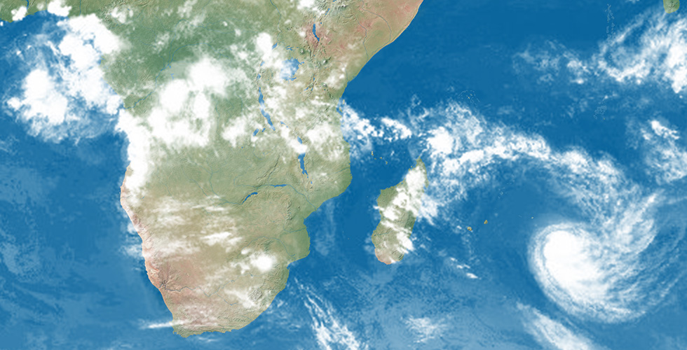
Our free cloud image service provides EarthDesk with global cloud images at a detail of 2 megapixels. Standard cloud images update every six hours.
Expand EarthDesk with a data subscription.
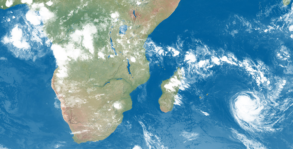
For $14.99 per year, EarthDesk displays precision clouds, earthquakes, storm names, and the International Space Station.
Watch earthquakes happen all over the world. Choose the minimum magnitude to display, select the number of days they remain, and fade out older quakes.
Track major tropical storms, cyclones, typhoons, and hurricanes. Choose how to label the storm, and whether to display the Safir-Simpson category.

Storm data powered by Aeris.
Cloud Data Source: SSEC RealEarth, UW-Madison.
Precisely geo-located and corrected for parallax, with data from 23 satellites, including polar regions at a detail of 32 megapixels. Updated every three hours.


